Introduction
Land surveying is the process of measuring and mapping the Earth’s surface and features.
Key tools and technologies are crucial in land surveying for accurate and efficient results.
Furthermore, our expedition into the realm of land surveying will unravel the diverse applications of these tools and technologies.
From boundary determinations to construction site layouts, cadastral mapping to environmental monitoring, the versatility of these instruments plays a pivotal role in shaping our understanding of the Earth’s topography.
We’ll also explore how advancements in Geographic Information Systems (GIS) have seamlessly integrated with surveying methods, opening up new dimensions in data analysis and decision-making.
This comprehensive journey aims to showcase not just the tools themselves, but the dynamic interplay between human expertise and technological innovation.
As we navigate through the corridors of land surveying, we’ll witness the intricate dance between tradition and modernity, where age-old surveying principles harmonize with the transformative power of contemporary tools, forging a path towards more accurate, efficient, and sustainable land surveying practices.
Join us as we uncover the fascinating tapestry of Land Surveying: Key Tools and Technologies Used.
Read: Mech Engineers: Climate Change Role
Traditional Surveying Tools
Measuring tapes and rulers
- Measuring tapes are commonly used in land surveying due to their versatility and portability.
- However, measuring tapes have limitations in accuracy, especially over long distances.
- Despite their limitations, measuring tapes are still crucial for obtaining preliminary measurements and rough estimations.
- Accurate measurements are essential in land surveying to ensure precise boundary determinations and property assessments.
- Mistakes in measurements can lead to costly errors in construction projects or land disputes.
- Therefore, professionals must pay close attention to accurate measurements using measuring tapes.
Tripods and leveling instruments
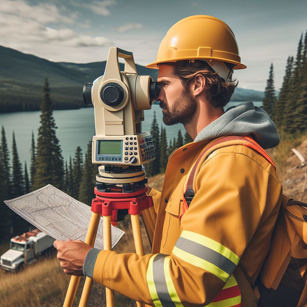
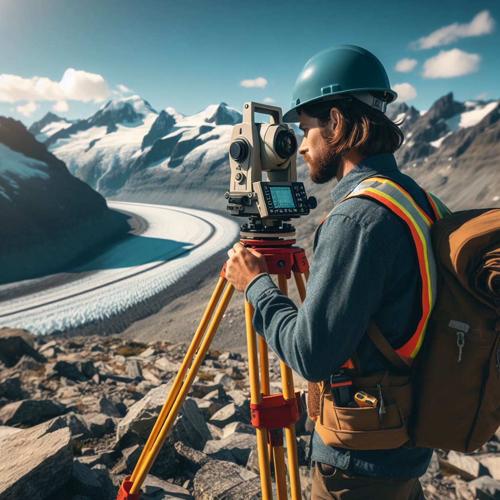
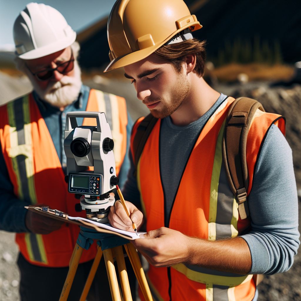
- Tripods are necessary tools for stabilizing and supporting various surveying instruments.
- They provide a stable platform that ensures precise measurements and eliminates potential errors.
- There are different types of tripods, such as wooden or aluminum, each with its specific applications.
- Leveling instruments, like the theodolite or total station, are used to determine height and angular measurements.
- Theodolites are particularly vital when conducting precise topographic surveys or creating detailed maps.
- Leveling instruments aid in ensuring accurate elevation measurements, critical for engineering and construction projects.
Measuring tapes and rulers
Using traditional surveying tools is essential for surveyors to gather accurate data necessary for various purposes.
Measuring tapes and rulers are among the most commonly used tools due to their versatility and portability.
However, it is important to note the limitations of measuring tapes, especially when measuring over long distances.
Despite these limitations, they are still valuable for obtaining preliminary measurements and rough estimations.
In land surveying, accurate measurements play a crucial role in determining boundaries and assessing properties.
Mistakes in measurements can lead to costly errors in construction projects or land disputes.
Therefore, professionals must pay close attention to obtaining accurate measurements using measuring tapes.
Tripods and leveling instruments
Tripods are another essential tool in traditional land surveying.
They provide stability and support for surveying instruments, ensuring precise measurements and reducing potential errors.
Tripods come in different types, such as wooden or aluminum, each suitable for specific applications.
Leveling instruments, such as theodolites or total stations, are used to determine height and angular measurements.
Theodolites are particularly important in conducting topographic surveys or creating detailed maps.
They aid in capturing precise angular measurements and ensuring accurate elevation calculations, which are critical for engineering and construction projects.
In short, traditional surveying tools such as measuring tapes, rulers, tripods, and leveling instruments are essential for acquiring accurate data in land surveying.
While measuring tapes have limitations, they are still valuable for initial measurements and estimations.
Tripods provide stability to surveying instruments, while leveling instruments aid in determining heights and angular measurements.
Unlock Your Career Potential
Visualize a clear path to success with our tailored Career Consulting service. Personalized insights in just 1-3 days.
Get StartedLand surveyors must utilize these tools effectively to gather precise data, ensuring the success and accuracy of their work.
Read: The Daily Life of a Canadian Surveyor: An Insight
Modern Surveying Tools and Technologies
Total Stations
Definition and purpose of total stations
Total stations are electronic instruments used in land surveying to measure angles and distances accurately.
How total stations work
Total stations combine electronic theodolites with electronic distance measuring devices to measure angles and distances simultaneously.
Advantages and disadvantages of total stations
Total stations provide precise and efficient measurements, but they can be expensive and require skilled operators.
Global Navigation Satellite Systems (GNSS)
Overview of GNSS technology
GNSS technology utilizes a network of satellites to provide positioning, navigation, and timing information to receivers on the ground.
Use of GPS and GLONASS in land surveying
GPS and GLONASS are two major GNSS systems used in surveying, providing accurate and real-time positioning data.
Benefits and limitations of GNSS
GNSS offers high precision, convenience, and global coverage, but it can be affected by satellite signal obstructions and environmental factors.
Geographic Information System (GIS)
Explanation of GIS technology
GIS technology is a computer-based system for capturing, storing, analyzing, and managing spatial and geographic data.
Integration of GIS in land surveying
GIS is used in land surveying to organize and visualize survey data, create maps, and perform spatial analysis.
Applications and advantages of GIS in surveying
GIS enhances decision-making, supports land management, and allows for effective data sharing among stakeholders.
Remote Sensing
Definition and purpose of remote sensing
Remote sensing involves capturing information about an object or area without physical contact, using various technologies.
Types of remote sensing used in surveying (e.g., LiDAR, aerial photography)
LiDAR and aerial photography are commonly used remote sensing techniques for land surveying, providing detailed and accurate data.
Benefits and drawbacks of remote sensing
Remote sensing allows for large-scale data collection, but it can be expensive, subject to atmospheric conditions, and limited in resolution.
In fact, modern surveying tools and technologies have revolutionized the field by improving accuracy, efficiency, and data management.
Total stations enable precise measurements, while GNSS enhances positioning capabilities.
GIS facilitates data organization and analysis, and remote sensing provides detailed information about the land.
These advancements have greatly contributed to the advancements in land surveying, making it an essential field for various industries such as construction, urban planning, and environmental management.
Read: Essential Skills for Canadian Architects

Emerging Technologies in Surveying
Unmanned Aerial Vehicles (UAVs) or Drones
Unmanned Aerial Vehicles (UAVs), commonly known as drones, have revolutionized the field of land surveying.
They are lightweight, remotely controlled aircraft equipped with advanced imaging technology, enabling them to capture high-resolution aerial imagery to create accurate maps and models of land areas.
Role of UAVs in land surveying
The role of UAVs in land surveying is multifaceted. Firstly, they provide a cost-effective and time-efficient alternative to traditional surveying methods.
With their ability to cover large areas quickly and access hard-to-reach locations, they can gather data in a fraction of the time it would take using conventional methods.
This not only saves time but also reduces labor costs and increases overall productivity.
Advantages and limitations of using UAVs
Furthermore, UAVs aid in the collection of geospatial data by capturing aerial images, LiDAR, and other remote sensing data.
These data can be processed to create detailed 3D models, orthophotos, and digital elevation models (DEMs).
The accuracy of these models depends on the quality of the imagery collected by the UAVs, making it crucial to use high-resolution cameras and sensors.
Despite their numerous advantages, UAVs also have certain limitations in land surveying. The first limitation is their dependency on suitable weather conditions.
Strong winds, rain, or fog can affect the flight stability and image quality of the UAVs, making data collection challenging.
Additionally, the operational range and flight time of UAVs are limited, requiring the surveyor to carefully plan the mission and strategically choose the flight path.
3D Laser Scanning
Explanation of 3D laser scanning technology
3D laser scanning is a cutting-edge technology used in surveying that captures precise three-dimensional data of objects and environments.
It involves using laser beams to measure the distance between the scanner and the target, creating a point cloud representation of the surveyed area.
Applications of 3D laser scanning in surveying
The applications of 3D laser scanning in surveying are vast.
It allows for the accurate measurement and visualization of objects, buildings, and terrains in intricate detail.
This technology is especially useful in heritage preservation, architecture, civil engineering, and construction projects.
It enables the creation of as-built documentation, virtual reconstructions, and clash detection for more efficient design processes.
Advantages and challenges of 3D laser scanning
One of the significant advantages of 3D laser scanning is its ability to capture data from inaccessible or hazardous areas.
It eliminates the need for manual measurements and potentially risky fieldwork.
Additionally, the high precision and detail provided by 3D laser scanning minimize the chances of errors and improve the quality of surveying results.
However, 3D laser scanning also presents challenges.
It requires substantial computational power and specialized software for processing the massive amount of data collected during the scanning process.
This can result in increased costs and time spent on data processing.
Moreover, the complexity of interpreting the point cloud data necessitates highly skilled professionals to ensure accurate analysis and reliable outcomes.
In general, emerging technologies such as unmanned aerial vehicles (UAVs) and 3D laser scanning have transformed the field of land surveying.
UAVs provide rapid and cost-effective data collection, while 3D laser scanning allows for highly accurate and detailed measurements.
Understanding the role, advantages, limitations, and challenges of these technologies is vital for surveyors to leverage their full potential and meet the evolving demands of the industry.
Read: Diversity in Canada’s Architectural Sector
Conclusion
Land surveying relies on a range of tools and technologies to ensure accurate measurements and data collection.
Key tools include GPS receivers, total stations, and laser scanners that provide precise and reliable results.
Modern tools allow surveyors to streamline their work, increase efficiency, and reduce human error.
By leveraging these technologies, land surveyors can produce accurate and detailed maps, boundary lines, and elevation data.
Furthermore, the use of modern tools enhances the safety of surveyors by minimizing their exposure to hazardous conditions.
In the future, advancements in surveying technology are expected to continue, further improving the accuracy and efficiency of surveys.
New technologies like LiDAR and drone surveying are already being utilized, providing faster and more detailed data collection.
Additionally, the integration of artificial intelligence and machine learning will enhance the analysis and interpretation of survey data.
These advancements will lead to more precise measurements, increased automation, and improved decision-making in land surveying.
The use of key tools and technologies, along with future advancements, are vital for land surveying professionals to ensure accurate and efficient surveys.


